Geospatial Data Analysis: The Role of Geographic Information Systems (GIS) in Mapping and Understanding India's Size and Location
GIS technology has revolutionized our understanding of geography. By mapping India's diverse landscapes, we can make informed decisions for sustainable development. Discover how GIS technology helps us uncover valuable insights into India's size and location!
Introduction to Geospatial Data Analysis
As a computer science engineer, I am continually amazed by how technology permeates every aspect of our lives. Geographic Information Systems (GIS) is one such technology that has tremendously revolutionized the way we comprehend and interact with the world. It provides powerful tools for geospatial data analysis, allowing us to uncover patterns and trends that were previously hidden.
Understanding GIS
So, what exactly is GIS? In simple terms, GIS is a framework for gathering, managing, and analyzing data that is rooted in the geography of our planet. This technology integrates various types of data and maps to provide substantial insights and a better understanding of spatial relationships and geographic contexts.
GIS and India's Size and Location
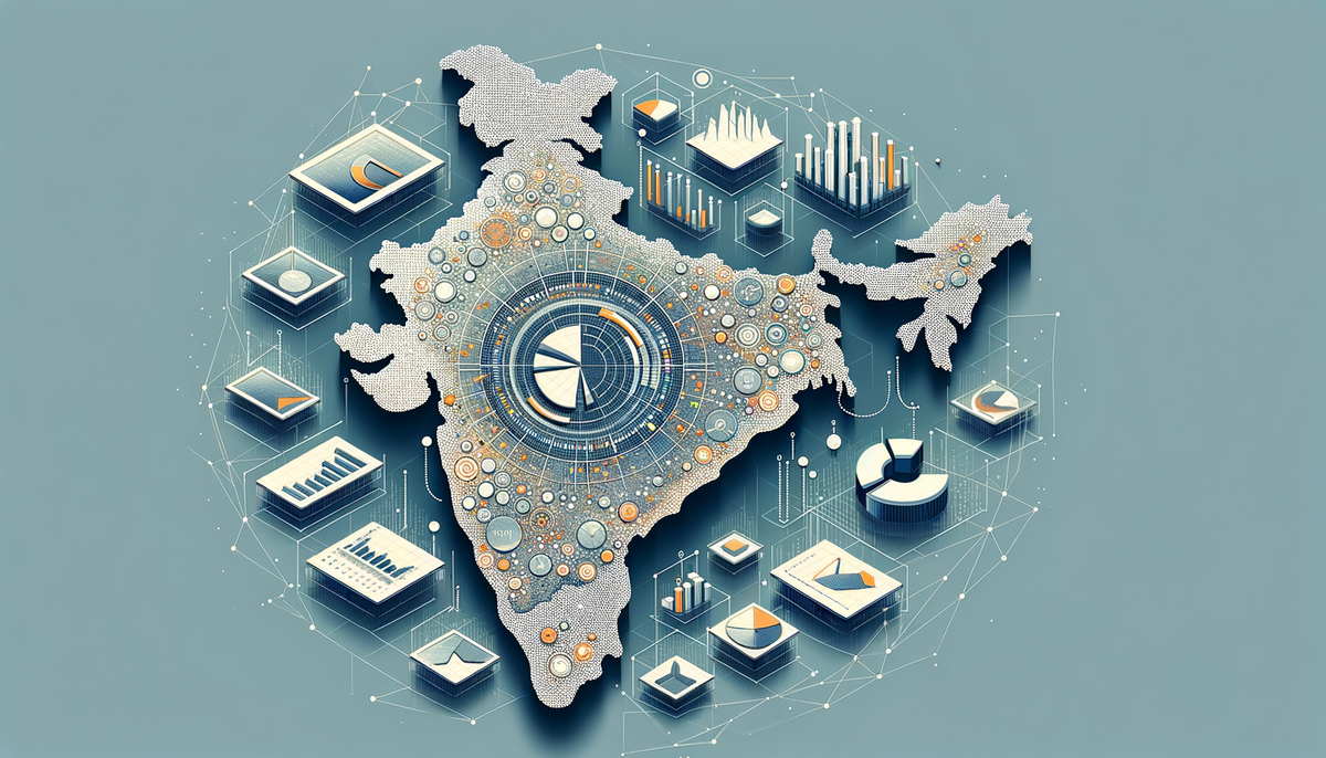
India, with its diverse cultural and geographical landscapes, provides a significant case study for understanding the remarkable capabilities of GIS. By leveraging GIS technology, we can accurately map and analyze the vast expanse of India's territory. We can visualize everything from the population distribution and infrastructure networks to natural resources and environmental changes.
For instance, let’s take a deeper look at how GIS aids in mapping India's size and location by referring to resources like this detailed study. By integrating geospatial data, we gain insights into the country's geographical nuances, facilitating better planning and decision-making for development projects.
The Applications of GIS in India
The applications of GIS in India are extensive. Here are a few noteworthy examples:
Urban Planning
GIS aids urban planners in understanding land usage patterns and planning new towns and cities. It helps identify suitable locations for infrastructural development and optimizes land usage, ensuring balanced and sustainable growth.
Disaster Management
India is prone to various natural disasters like floods, earthquakes, and cyclones. GIS provides real-time data and predictive models to assess vulnerabilities and manage disaster response more effectively.
Agriculture
By mapping soil types, weather patterns, and crop outputs, GIS enhances agricultural productivity. Farmers and agribusinesses can make better decisions regarding crop selection, irrigation, and pest control.
Conclusion
GIS technology plays a pivotal role in mapping and understanding geographical data. Its applications in India are particularly profound, considering the country's diverse and dynamic topography. Whether it's urban planning, disaster management, or agriculture, GIS helps us make informed decisions and fosters sustainable development.
Investing in GIS and expanding our knowledge in geospatial data analysis will undoubtedly lead to more innovative solutions for India's future. I'll continue to delve into this fascinating area, marveling at how the marriage of geography and technology can lead to significant advancements.


